You can import and export shapefiles (.shp) in Topo Maps+. When you import a shapefile, the attributes are preserved and the data is imported into a Data Layer.
Import Shapefiles
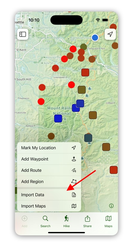
To import a shapefile tap on Add in to the toolbar and then select Import Data.
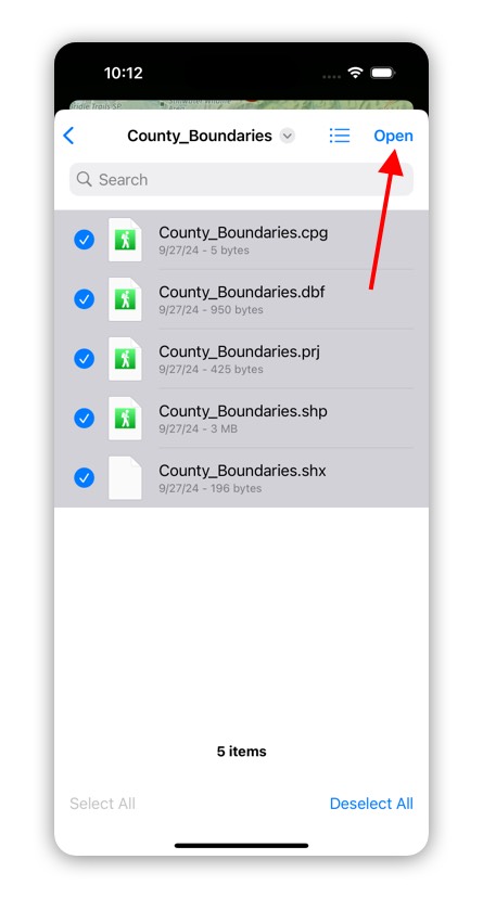
Next select the .shp file and the associated files and tap on Open. If you have the shp file in a zip file you can select that as well. While Topo Maps+ can open just a shp file, it is best to include the associated cpg, dbf, and prj files so that Topo Maps+ gets the correct projection and attributes.
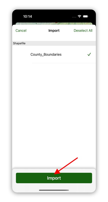
Then tap on Import to import the shapefile.
Topo Maps+ imports the shapefile into a Data Layer.
Export Shapefiles
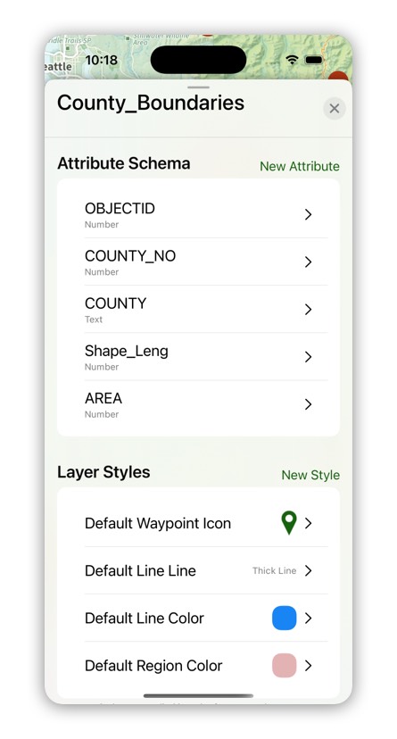
You can export Data Layers to a shapefile. When you export a Data Layer, the attributes are preserved in the shapefile. The attribute titles are truncated to a max length of 11 characters and text attributes are truncated to a max length of 254 characters.
If you have any photo fields, the photos will be exported and the attribute will have the name of the photo.
To export a Data Layer, go to the Data Layer Settings by doing a tap and hold on the layer and then select Settings.
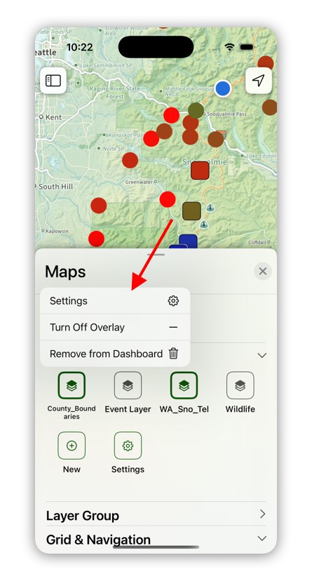
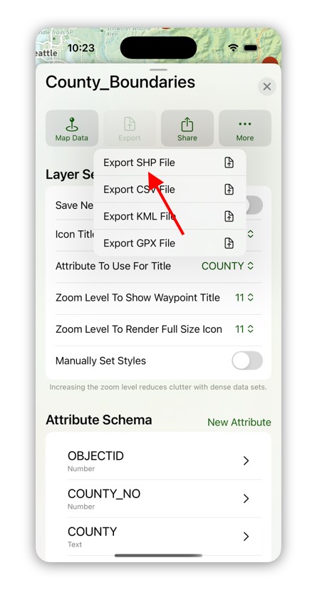
Then tap on Export and select “Export SHP File”.