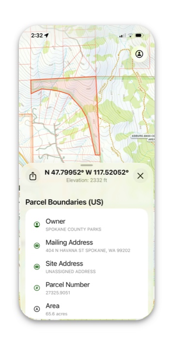
Whether you’re a backcountry hunter needing to watch your public land management boundaries or a private land hunter; you prefer Topo maps, satellite maps, or a combination of the two, Topo Maps+ can set you up!
How To Enable:
- Tap on the folded map icon in the bottom right corner.
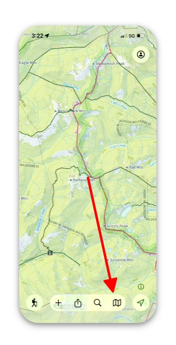
2. If you have TopoMaps+ Elite, the Land Overlays should display in your dashboard by default.
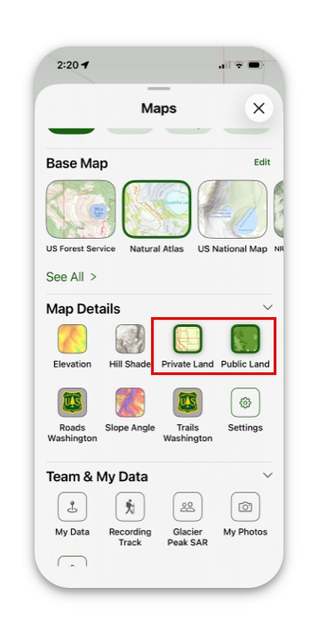
3. If Land Overlays are not displayed in the dashboard, then simply tap Settings and then Add More Overlays.
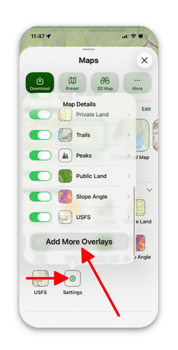
4. Next, select Land Ownership (US)
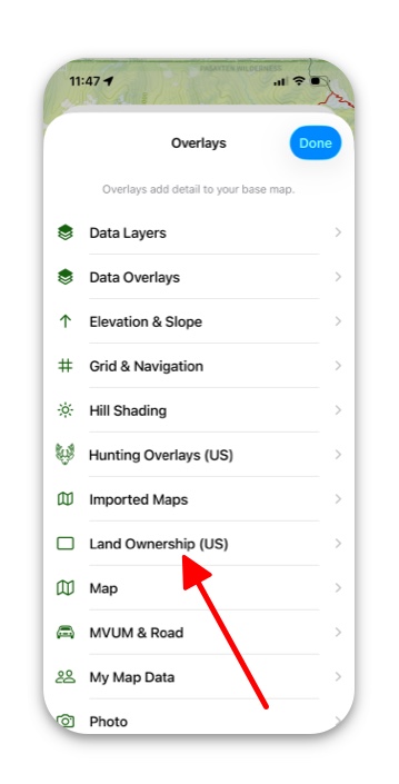
5. Then simply select which Land Ownership overlay you want to use.
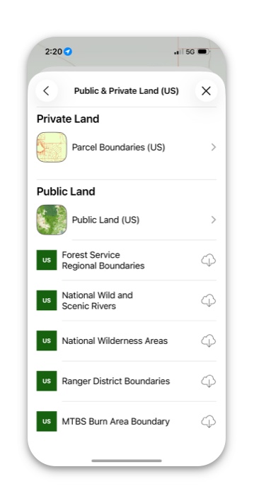
6. When land ownership overlays are selected, tap on a parcel to pull up information on it.
Note: “Tappable” land boundaries are only available for the Parcel Boundaries overlay (not the public land or any of the downloadable boundaries – these are purely visual).