
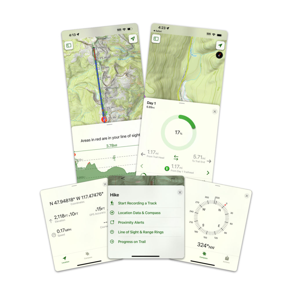
After planning out a trip, Topo Maps+ makes it easy, fun, and safe to follow your route.
Not only can you create and follow the routes you make pre-hike, but you can also record them in real time by recording a track.
Maybe you want to see how much elevation you’ve gained, or what your average/max/minimum speed is, or your current compass bearing.
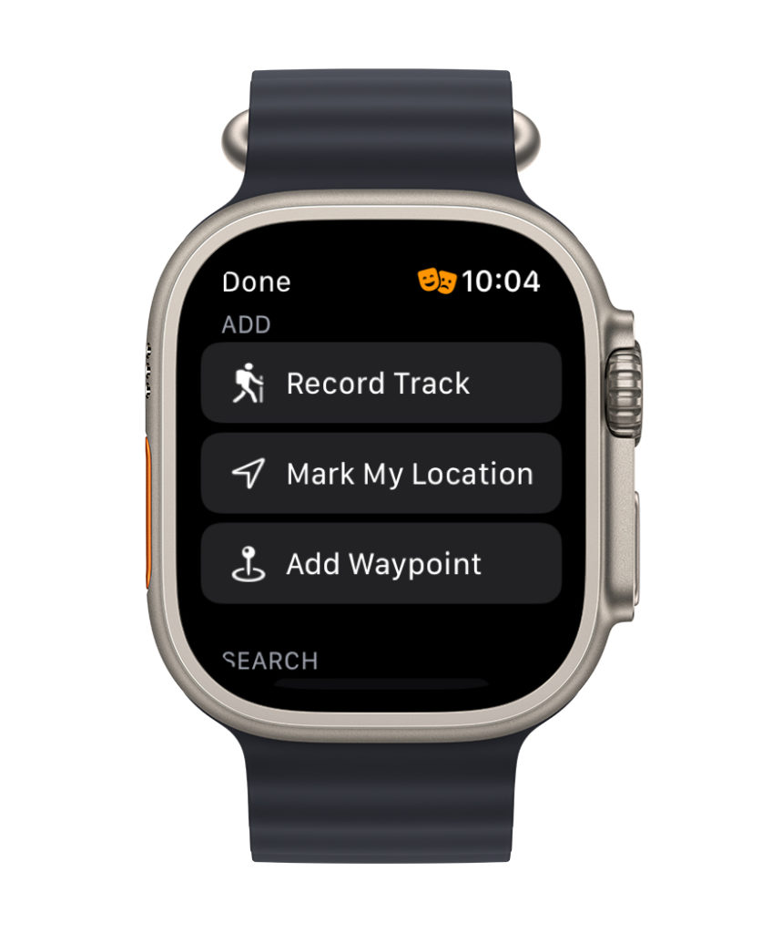
Recording tracks is even easier with the Apple Watch!
You can also:
Use the Compass Tool
Use the Line of Sight Tool – Don’t know what peak you’re looking at? Line of Sight can show you how far you are looking, as well as an elevation profile of that distance.
Use the Progress on Trail tool to view your progress on your planned route – how many miles you’ve progressed, how many miles you have left, and view distance between important points on your route.