
We have a lot of maps in Topo Maps+.
Different maps work better for different purposes, whether you’re looking for:
- Excellent points of interest, labels, and notes
- Hand-curated by a cartographer and double-checked for accuracy
- Beautifully designed, clear, and easy to trust
No single map is perfect, which is why it’s important to compare and use multiple maps depending on your needs. Some maps may be missing features like glaciers or creeks, others may not include all trails, and a few may be out of date or lack full coverage of your hiking area.
Out of the ~30 maps available in Topo Maps+, here are the ones most commonly used:
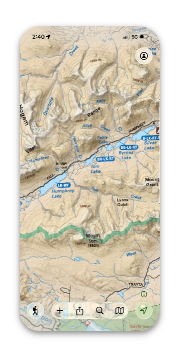
Natural Atlas:
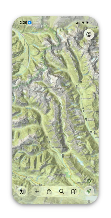
This is my go-to map that I always start with and is often the only map I use during my hike.
The Natural Atlas has all the details of a USGS map, the latest trail info from the Forest Service, national and state parks, and of course, the backcountry features like timberline, creeks, trails, and glaciers.
It is really easy to read at all zoom levels. It has great detail as you zoom in. It really looks great! Not only that, but it is constantly being updated!
US Forest Service:
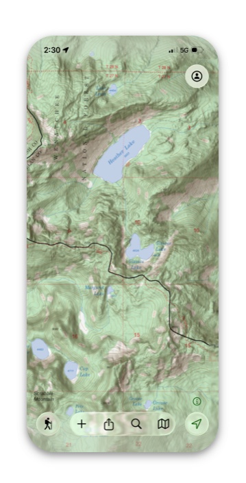
US Forest Service maps are an excellent choice for both trip planning and on-trail navigation. They include key backcountry features such as timberline, glaciers, and seasonal creeks.
One limitation is coverage — these maps do not include the entire United States and most notably exclude National Parks.
Highlights:
- Excellent points of interest, labels, and notes
- Hand-curated by a cartographer and double-checked for accuracy
- Beautifully designed, clear, and easy to trust
AccuTerra Topo, and Thunderforest Outdoor Maps:
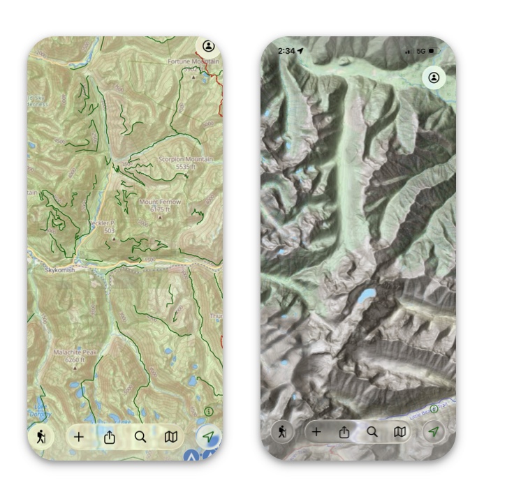
AccuTerra Topo and Thunderforest Outdoor Maps are our top choices for worldwide topo coverage.
They combine detailed terrain features with reliable global availability, making them excellent for planning and navigating almost anywhere. Whether you’re hiking locally or exploring abroad, these maps deliver consistent, high-quality topographic detail.
NRCan Canada Topo:
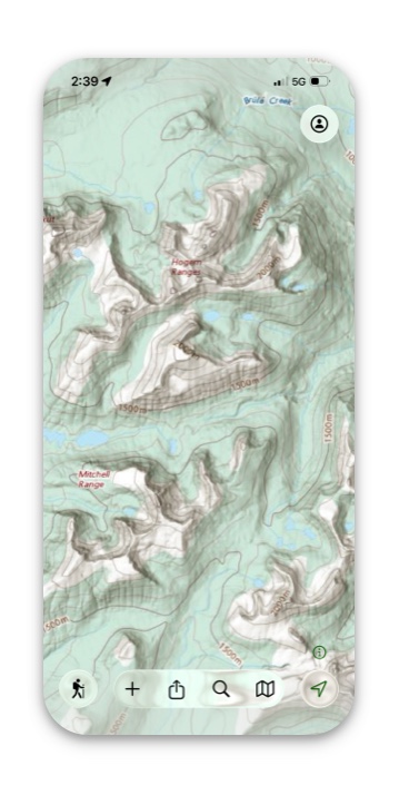
NRCan Canada Topo maps are the best choice for detailed topographic coverage in Canada.
They provide highly accurate terrain information, making them ideal for navigation and trip planning across Canada’s diverse landscapes. If your adventures take you anywhere in Canada, these maps offer the most reliable detail.
Backroad Mapbooks:
BRMB maps are the best option for recreational use in Canada.
They highlight trails, campsites, and outdoor features that matter most to hikers, campers, and explorers. Perfect for planning adventures, BRMB maps focus on the details that make outdoor recreation easier and more enjoyable.
LINZ Topo Map:

For New Zealand, LINZ maps stand out as the go-to topo resource.
Created from official government data, they give you the most accurate view of the country’s mountains, valleys, and coastlines—perfect for exploring Aotearoa with confidence.
MapBox and ESRI Satelite Maps:
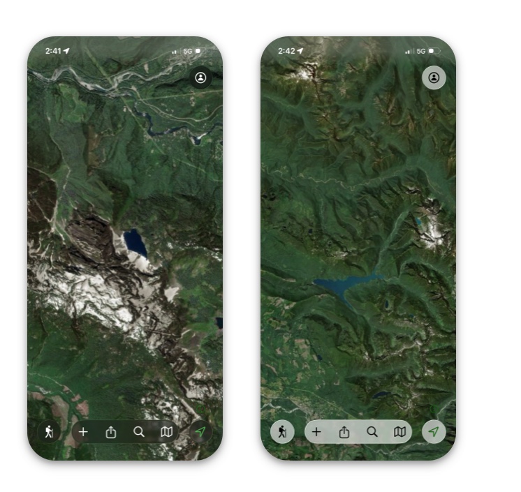
Mapbox and ESRI provide the best satellite maps for global use.
Their imagery is high-quality, frequently updated, and covers virtually every corner of the world. Whether you need clear visuals for navigation, planning, or exploring new areas, these maps deliver reliable satellite detail.