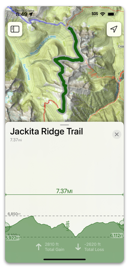
There are a few ways to view an elevation profile:
- Route, Track or Trail Profile
- Between two Waypoints
- Line of Sight Profile
Routes, Tracks and Trails:
To see the elevation profile, tap on the selectable route/track/trail and scroll down to the elevation profile:

To view the full version of the profile, tap Expand.
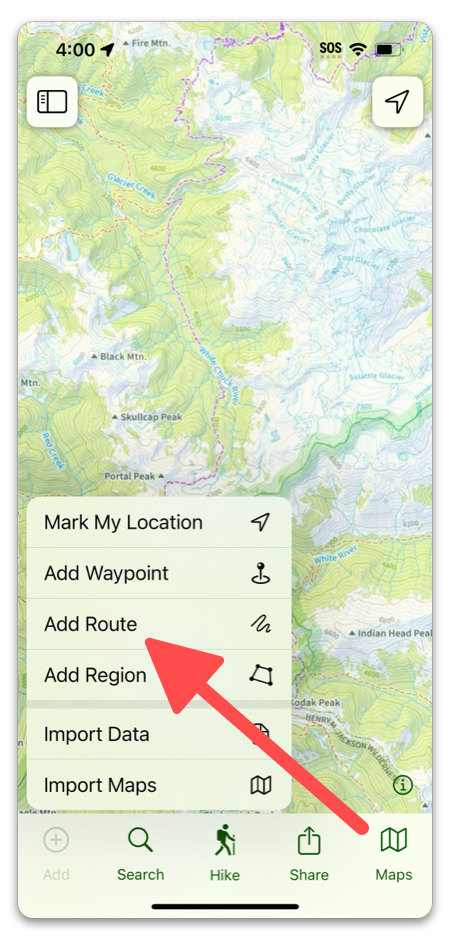
Between two waypoints:
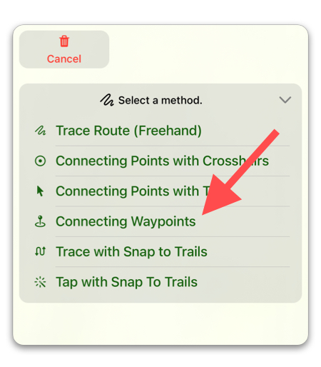
To view the elevation profile between two waypoints in a straight line tap on the “Add” button on the bottom left of the screen and select “add route.”
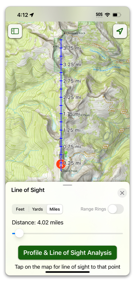
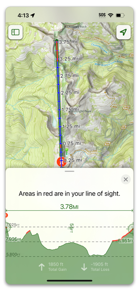
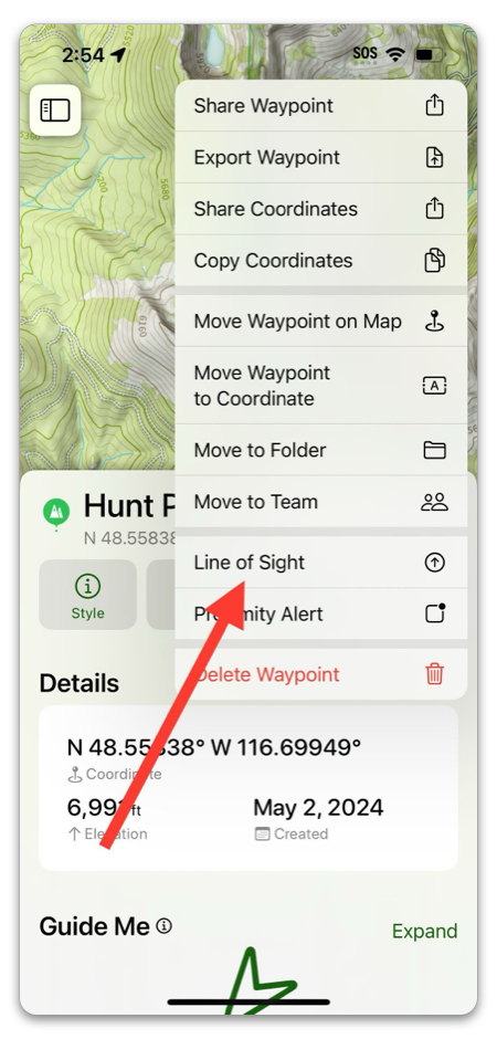
Line of Sight Profile:
The Line of Sight tool lets you view the elevation profile of a chosen distance in any direction from a given point. You can access Line of Sight by:
- Tapping on your location
- Tapping on a waypoint or photo
- Tapping the hike menu
For this example, we will use a waypoint:
There are a few different settings options. Select the unit of measure and total distance you want to capture, then tap “Profile & Line of Sight Analysis”.