Offline capabilities is what makes Topo Maps+ actually work deep in the backcountry. It isn’t just offline maps. You can reroute and make new plans while you are on the trail.
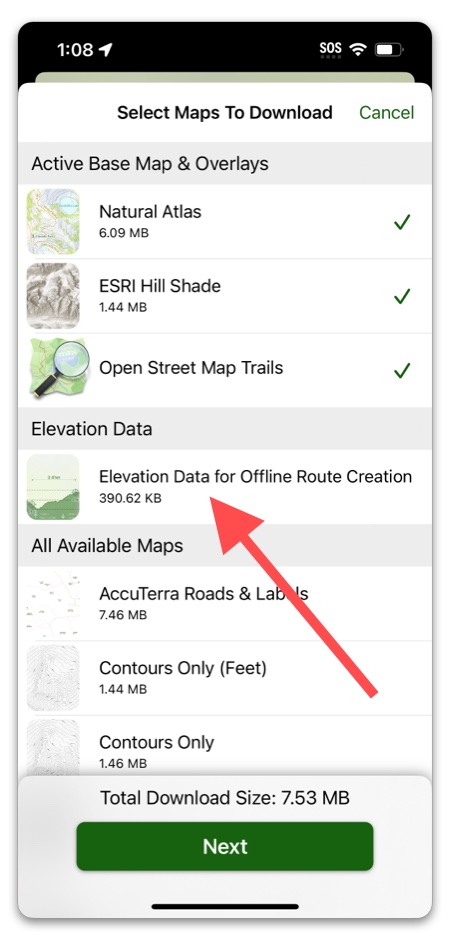
When you download maps for your trip, you can also select “Elevation Data for Offline Route Creation” and Topo Maps+ will download elevation data for the area you have selected.
Why would this be important?
Having this info downloaded when you’re on the trail will help you grab those peak elevations you might have forgotten to check before going out or maybe you need to re-route your trip due to a bridge being out.
Additionally, there are a few features you can’t use offline unless you download the elevation data:
Heat Map and Slope Map overlays,
and
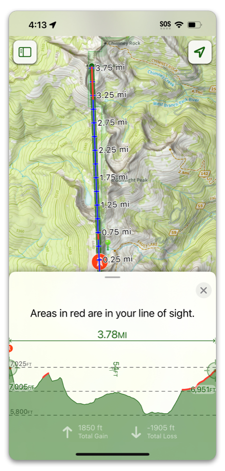
Line of Sight: A feature to look more easily at the surrounding peaks or view an elevation profile of a selected range: