You can import and export CSV files in Topo Maps+. When you import a CSV file the columns are preserved and the data is imported into a Data Layer.
CSV Format
The CSV file must have a “Location”, “Geometry”, or “Latitude” and “Longitude” column. If it has a Location or Geometry column the value can be a single latitude, longitude pair or a list of pairs. If it is a list of pairs and the first and last values are exactly the same, then the geometry is imported as a polygon.
You can export some data layers to a CSV file to see how data types should be formatted.
If you have a UUID column, Topo Maps+ will merge the imported data into objects that match the UUID. This lets you export a data layer to a CSV file, edit that CSV file in Numbers or Excel, and then import that data back into Topo Maps+ and it will update the existing objects.
Import CSV Files
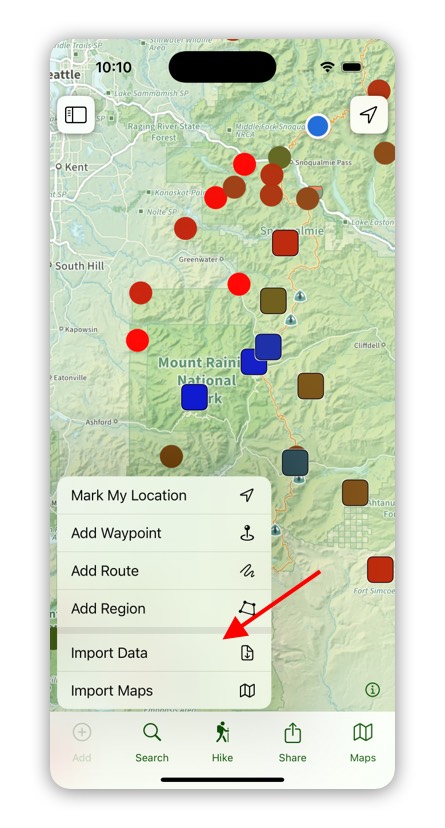
To import a csv file tap on Add in to the toolbar and then select Import Data.
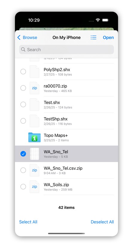
Next select the CSV file and tap on Open.
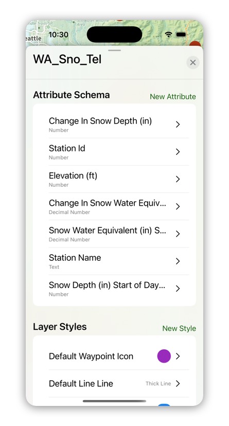
When you import a CSV file the data is added to a Data Layer and the columns are added as attributes.
Export to CSV File
You can export Data Layers to a CSV file. When you export a Data Layer, the attributes are preserved in columns in the CSV file. Topo Maps+ will also export each objects UUID so that you can import this file back into Topo Maps+ and have it update the existing objects.
If you have any photo fields, the photos will be exported and the attribute will have the name of the photo.
To export a Data Layer, go to the Data Layer Settings by doing a tap and hold on the layer and then select Settings.
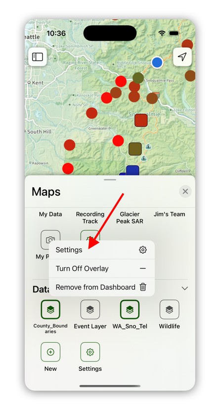
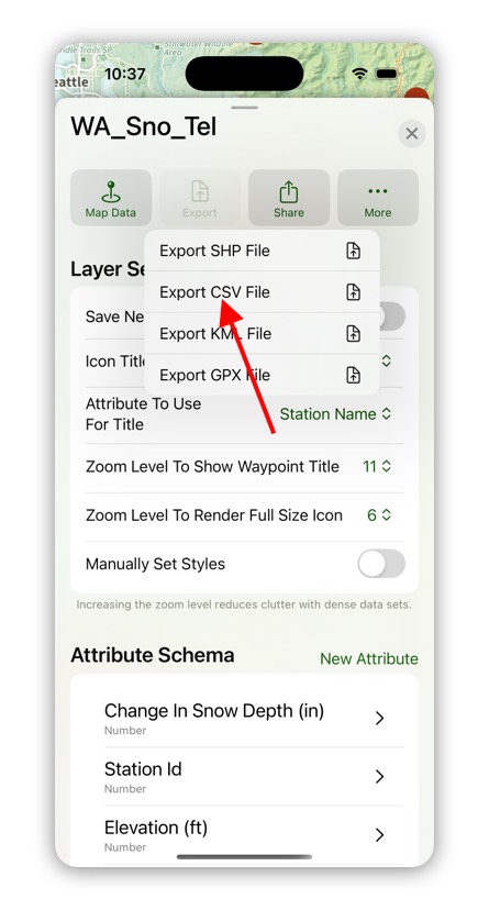
Then tap on Export and select “Export CSV File”.