
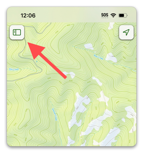
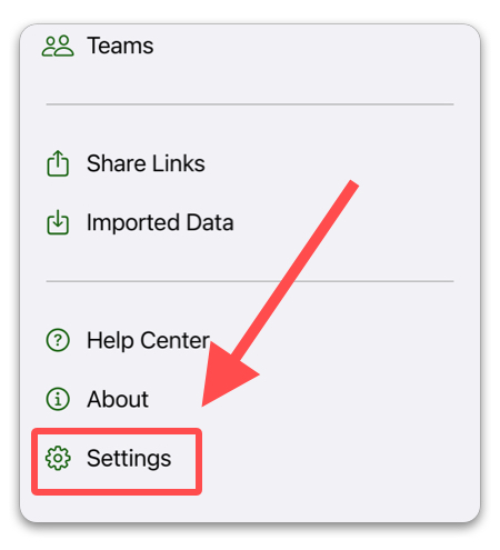
Navigate to the settings in Topo Maps+ by tapping the top left menu button and then “Settings”:
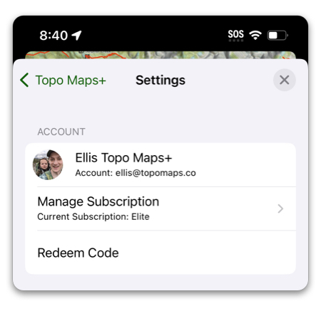
1. Account
- Account — View & manage your account.
- Manage Subscription — Upgrade, cancel or change your subscription.
- Redeem Code — Use a Team or Promo Code.
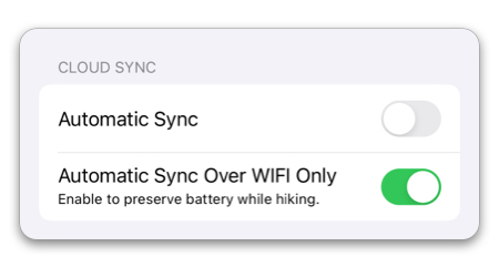
2. Cloud Sync
- Automatic Sync — (on by default) When enabled, Topo Maps+ will schedule syncs automatically at certain times (on app startup, after you create data, etc). This keeps your Topo Maps+ account updated with your recent data for cross-device syncing and backup.
- Automatic Sync Over Wifi Only — This will prevent Topo Maps+ from auto-syncing if you are not connected to Wifi, in order to save on cellular data, as well as prevent it from trying to sync without a connection at all.
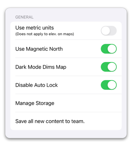
3. General
- Use metric units — When enabled, Topo Maps+ will use meters and kilometers wherever distance or elevation is displayed.
- Use Magnetic North — When enabled, Topo Maps+ will use Magnetic North instead of True North for the Compass feature.
- Dark Mode Dims Map — This will dim the brightness of the map while using Dark Mode on your device.
- Disable Auto Lock — This will prevent your phone from locking the screen automatically while in the app.
- Save all new content to team — When enabled, all new data you create will be automatically saved to the team of your choosing.
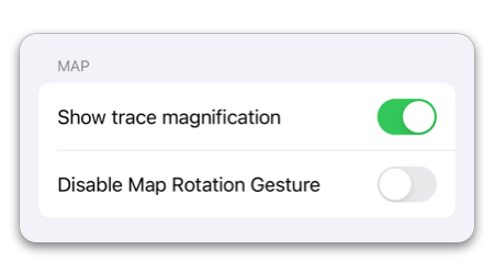
4. Map
- Show trace magnification — When enabled, a magnifier will appear when doing things like drawing routes so you can better see where you are drawing.
- Disable Map Rotation Gesture — This disables the ability to rotate the map with two fingers.
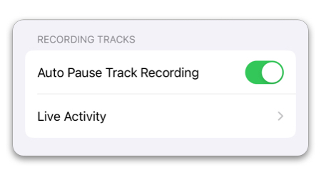
5. Recording Tracks
- Auto Pause Track Recording will recognize when you have stopped moving while recording a track, and pause the recording. You can stop to enjoy a view without skewing your track metrics.
- Live Activity — Customize the metrics that the Recording Track Live Activity will display on the Lock Screen. For more information, check out this article.
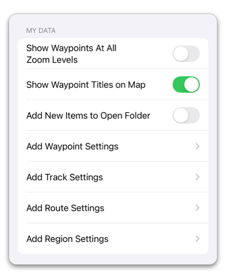
6. My Data
- Show Waypoints At All Zoom Levels — Enabling this will prevent waypoints from disappearing when zooming out. (They will still get extremely small when zoomed out significantly)
- Show Waypoint Titles on Map — This will display your waypoint titles along with the icon on the map. You can customize where the title will be positioned for each waypoint by editing the waypoint itself.
- Add New Items to Open Folder — When enabled, whenever the menu is open to a folder, all new data that is created will automatically be added to that folder.
- Add Waypoint Settings — Customize the flow for adding waypoints. You can set things like a default icon, title, as well as if you want the details to show up after creation, etc. For more details, check out this article.
- Add Track Settings — Customize the flow for recording tracks. You can set a default title, color, folder, and activity.
- Add Route Settings — Customize the flow for adding routes. You can set a default title, color, line style, folder, and what to show after you create a new route.
- Add Region Settings — Customize the flow for adding regions. You can set a default title, fill color, border color, folder, and what to show after creating a new region.
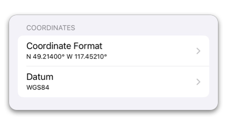
7. Coordinates
- Coordinate Format — gives you the ability to select a preferred format for location coordinates (Latitude/Longitude, UTM, etc.)
- Datum — (WGS84 by default) This lets swap between WGS84 and NAD27.
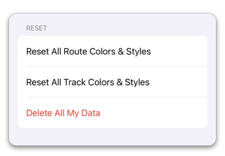
8. Reset
- Reset All Route Colors & Styles — This will reset all routes to the default color & style.
- Reset All Track Colors & Styles — This will reset all tracks to the default color & style.
- Delete All My Data — This will permanently delete all your Topo Maps+ data (includes what is stored on the cloud)