With Topo Maps+ Pro you can add regions to the map. Sometimes the information you want to track on the map can’t be captured with just waypoints and routes. For example, maybe you want to keep track of an area where you found good huckleberries or a property boundary that you want to stay in while you are hunting, or a region where you have searched.
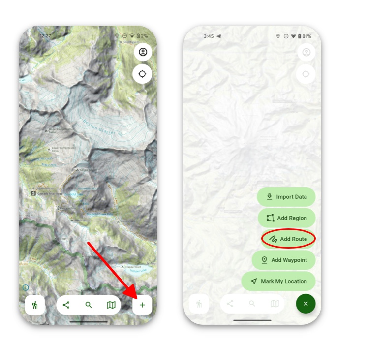
- To create a region, tap Add at the bottom of the screen, and then tap Add Region.
2. Next select the method you want to use to create your region and tap Start.
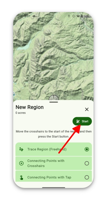
- Trace Route (Freehand) lets you draw your own route without any constraints. This is nice for flexibility but sometimes hard to get exact.
- Connecting Points with Crosshairs lets you drag crosshairs to each point along your route. Each point will automatically create a straight line from the previous point.
- Connecting Points with Tap lets you simply tap each time you want to add a point. This is faster than crosshairs, but harder to be exact with.
- Connecting Waypoints lets you tap on waypoints you have created and use them as points along the trail. This tool will draw a straight line between waypoints you tap on.
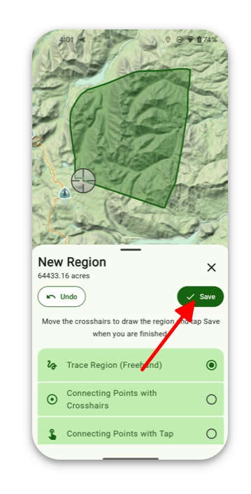
3. After creating your region, tap Save.
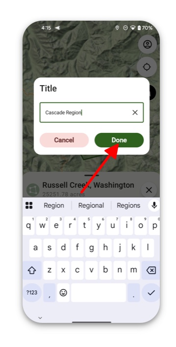
4. Then name your region and tap Done.
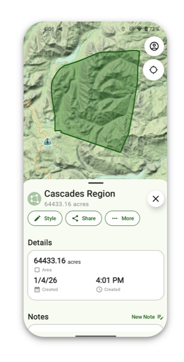
5. If you tap on your region, then information on that area will pull up. If you want to also customize the region itself, you can add fill color and/or border color.
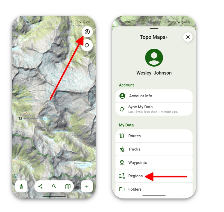
6. To access saved regions, tap the Menu button in the top right corner and then tap Regions. Your saved regions will be stored there.