I have been waiting a long time for this ….
3D Maps are here! 🎉 💯
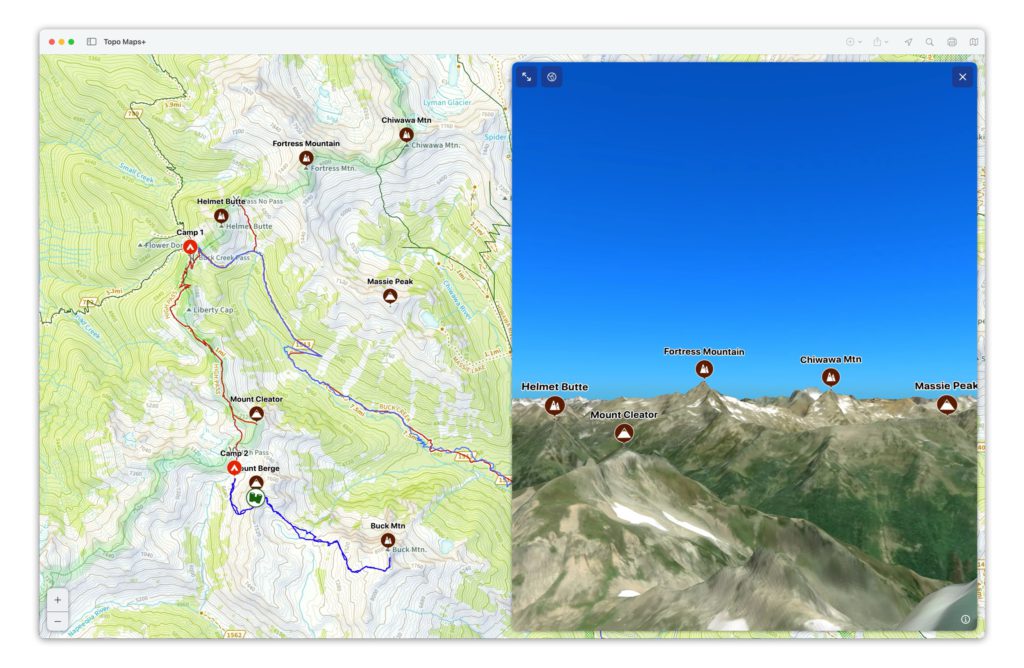
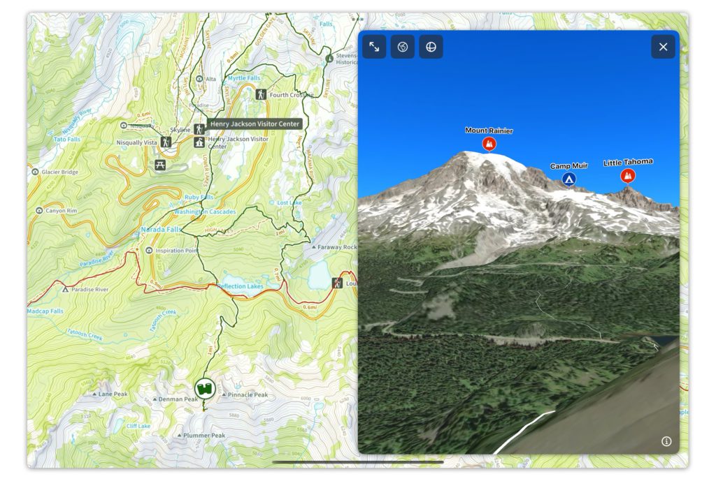
Topo Maps+ take outdoor 3D maps to a whole new level.
Rather than creating a general purpose 3D map that only kind of works for lots of different kinds of map usage, we decided to build a 3D map specifically designed for planning outdoor adventures.
Topo Maps+ puts the 3D map into a look around interface.
Ok, so what does that mean?
The 3D map sits on top of the map and the binoculars show you what you are looking at and where you are located in the 3D Map.
Just tap the full screen button to go full screen.

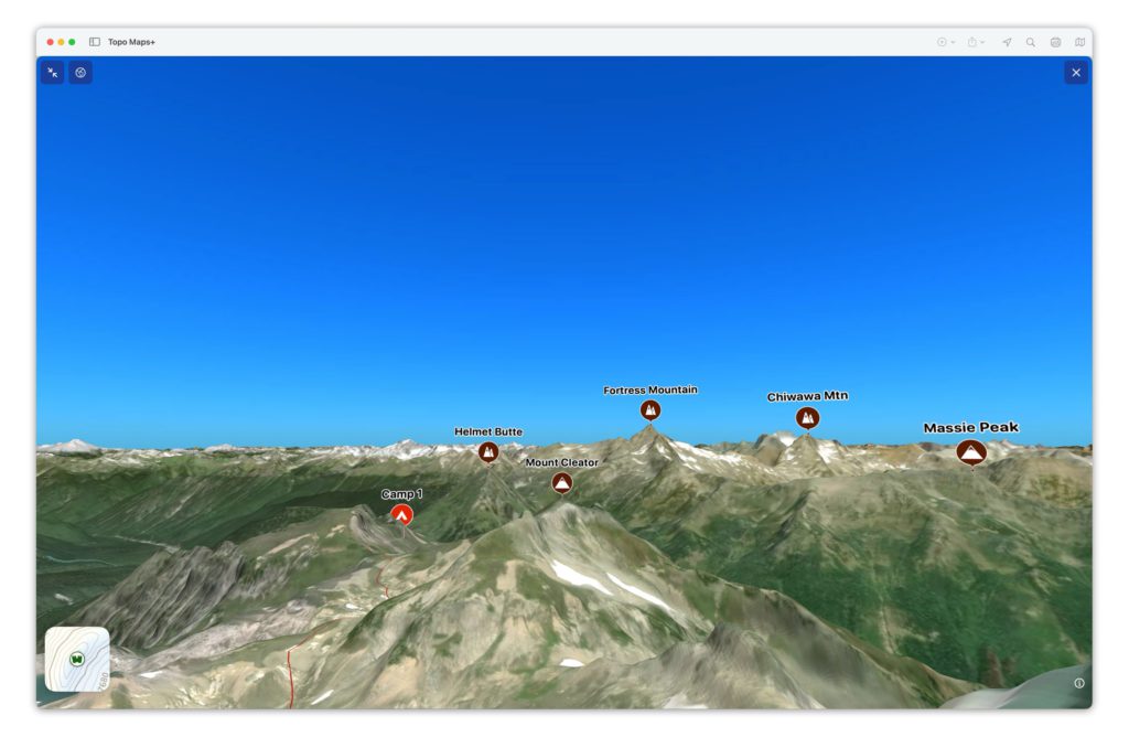
Movement works a little bit different than you’ve seen with other 3D maps.
When you swipe the 3D map, it keeps you standing at that location and just moves your head for what you are looking at.
So, now you can stand on the map and take a look around.
This is awesome for when you want to take a detailed look at a route or when you want to “stand” on a ridge line and see what you can see from that ridge.
🤯
To move in the 3D map you can:
- Use two fingers and do a “zoom” gesture by pinching them together.
- Pick up the binoculars and move them on the map.
- Tap and hold on the map and you can fly around on the map.
- Tap on the rotation button at the top of the 3D Map to toggle to swipe to move the 3D map.

To bring up the 3D map, just tap and hold on the map and then select 3D Map.
The 3D map includes all of your map data. 🤩
A picture is worth 1,000 words.
And it looks great on the Mac and iPad.