
You can export data from Topo Fire as a PDF (geoPDF), GPX, or KML file.
geoPDF Files: Image files with coordinates.
GPX Files: Raw coordinate data that will show in other mapping apps in their style, not as Topo Fire shows it. In other words, it will appear as a plain point or line, with no color or effect.
KML Files: Not only contains the coordinates for Waypoints, Lines, and Polygons, but also retains the style of these coordinates as shown in Topo Fire.
Pro Tip: You can export data via AirDrop, which doesn’t require a cellular connection. This comes in handy even when you have a shared incident, since the incident won’t update with new data without a connection. AirDrop lets you share that information with someone, and Topo Fire will recognize the data next time the device syncs with the incident, and make sure not to duplicate anything.
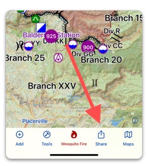
To export files, tap “Share” in the toolbar:
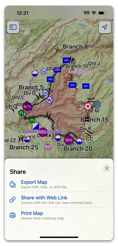
Next, select the method you want to use to export.
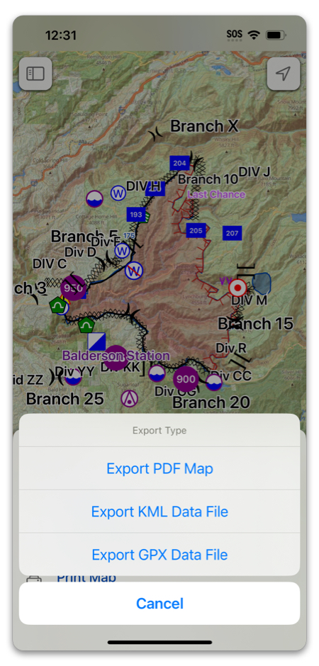
Then, select the file type you want to export.
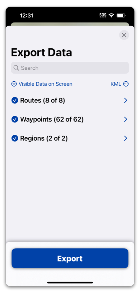
You can select any amount of data you want, as well as change the file format from this menu:
Then, you will need to select how you want to send the data (Messages, email, etc.).