Planning is more than just having a map. It’s important to route out your trips and really know the area before you go out into the backcountry.
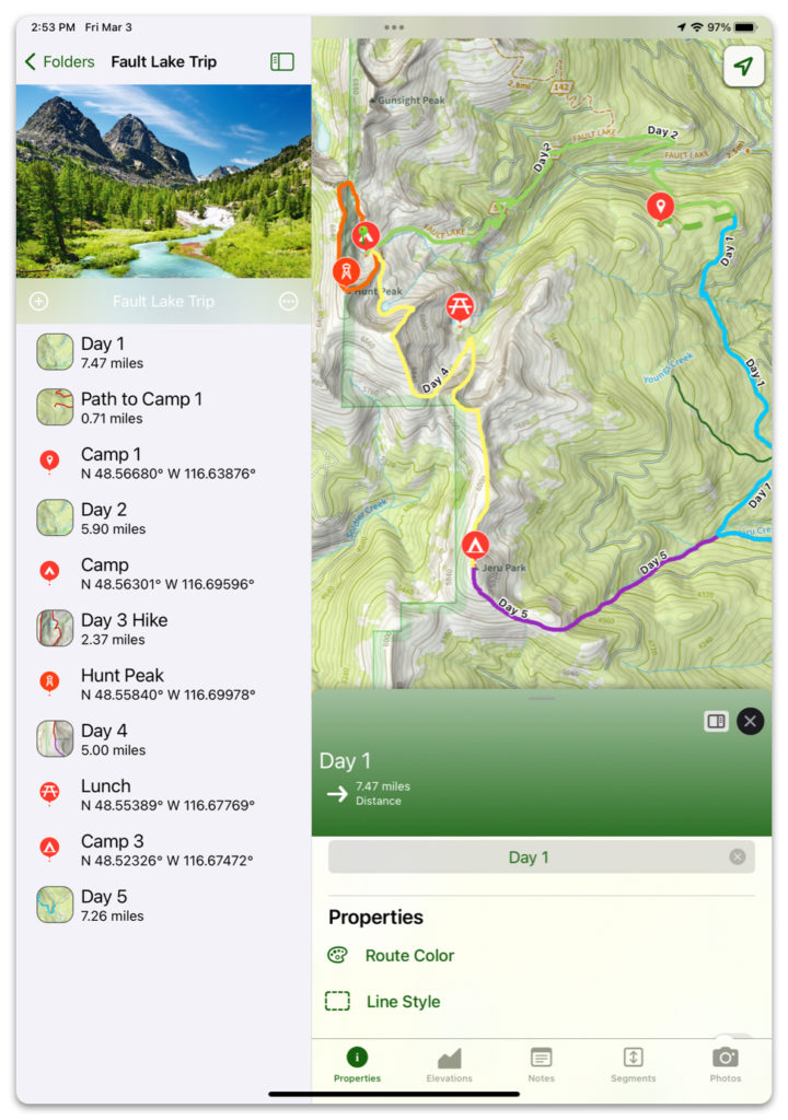
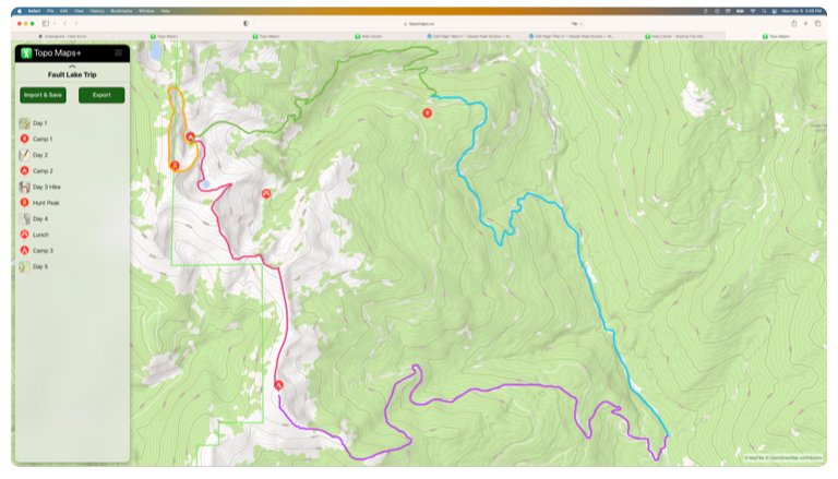
Topo Maps+ provides all the features you need to create a fully customizable trip plan, including:
- Waypoints
- Routes
- Regions
- Folders to organize your data in
- Downloading maps
- Printing maps
If you already have a PDF or TIFF file of a route or map, you can import it into Topo Maps+!
You can also import route data as GPX or KML files.
Once you have your trip all planned out, you can export it as a file, image, or share it as a link to an interactive web page!
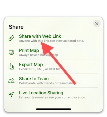
Even if they don’t have the app, anyone with the link can view a version of your trip on a web browser.
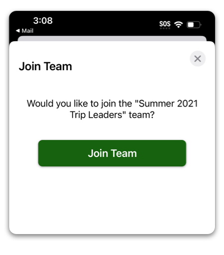
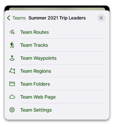
Are you organizing a team of trip leaders for an organization? We’ve got you covered with Topo Maps+ Teams. Put together trip folders and share with your team either as editors or viewers!