
“I have never been lost but I was bewildered once for three days.” – American frontiersman, Daniel Boone.
Seeing the blue dot on the map can be pretty reassuring when you are deep in the backcountry.
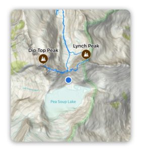
If you are like me, you can easily go from using your device to enhance your backcountry adventure, to depending on it to get home.
😬 😬 😬
We all know depending on your device for navigation is a HUGE mistake.

Your device can run out of battery, get dropped in a creek, dropped off a cliff, ….
Or maybe the map hasn’t been updated and once you get boots on the ground you realize that everything in different.
I can’t say it enough, “Don’t depend on your device to get you home.” Getting out of the backcountry is your responsibly, not Apple’s.
A good place to start is by always having a printed map (Here’s how to print in Topo Maps+), a compass, and know how to use them. REI has a great intro video on this HERE.
But that’s just a starting point…a navigational mindset is really what you are seeking to develop.
What’s that?? 🤔
In brief, you should be tracking three things when you’re in the backcountry:
1. What have I seen?
2. What am I currently seeing?
3. What do I expect to see?
Before you head out on a hike, you should have an idea for what you expect to see and what the terrain will be like. For example:
- For the 1st two miles we will be hiking north on the east side of a ridge. I expect that the ridge line will be on my left side and that creeks will be flowing east.
- We will cross a creek at 1 mile in and it is at 6,200 feet.
- After the first two miles we will gradually turn west and climb a lot of switchbacks to a saddle at 7,600 feet.
No, we’re NOT saying you need to memorize your entire trip before heading out, but you should have some idea of what to expect to see traveling through the terrain.
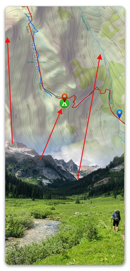
As you are hiking ask yourself, “Does what I have seen line up with what I expected to see? What do I expect to see over the next hour?” Are you expecting to cross streams, hike switchbacks, etc.
So when you cross a stream, check your altimeter, does it line up with the elevation of the stream? Is the stream flowing in the correct direction?
Take notes on a map or in Topo Maps+ and then keep track over the next 1-3 hours of hiking and when you reach points along the hike pull out the map and look at the information for the next segment.
When what you expect to see does not line up with what you have seen, stop and figure out where you are and make sure you are still on the right trail. Sometimes, you realize that your expectations were not accurate, and other times you may find that you took a wrong turn.